- You have no items in your shopping cart
- Subtotal: 0,00 $
Overview
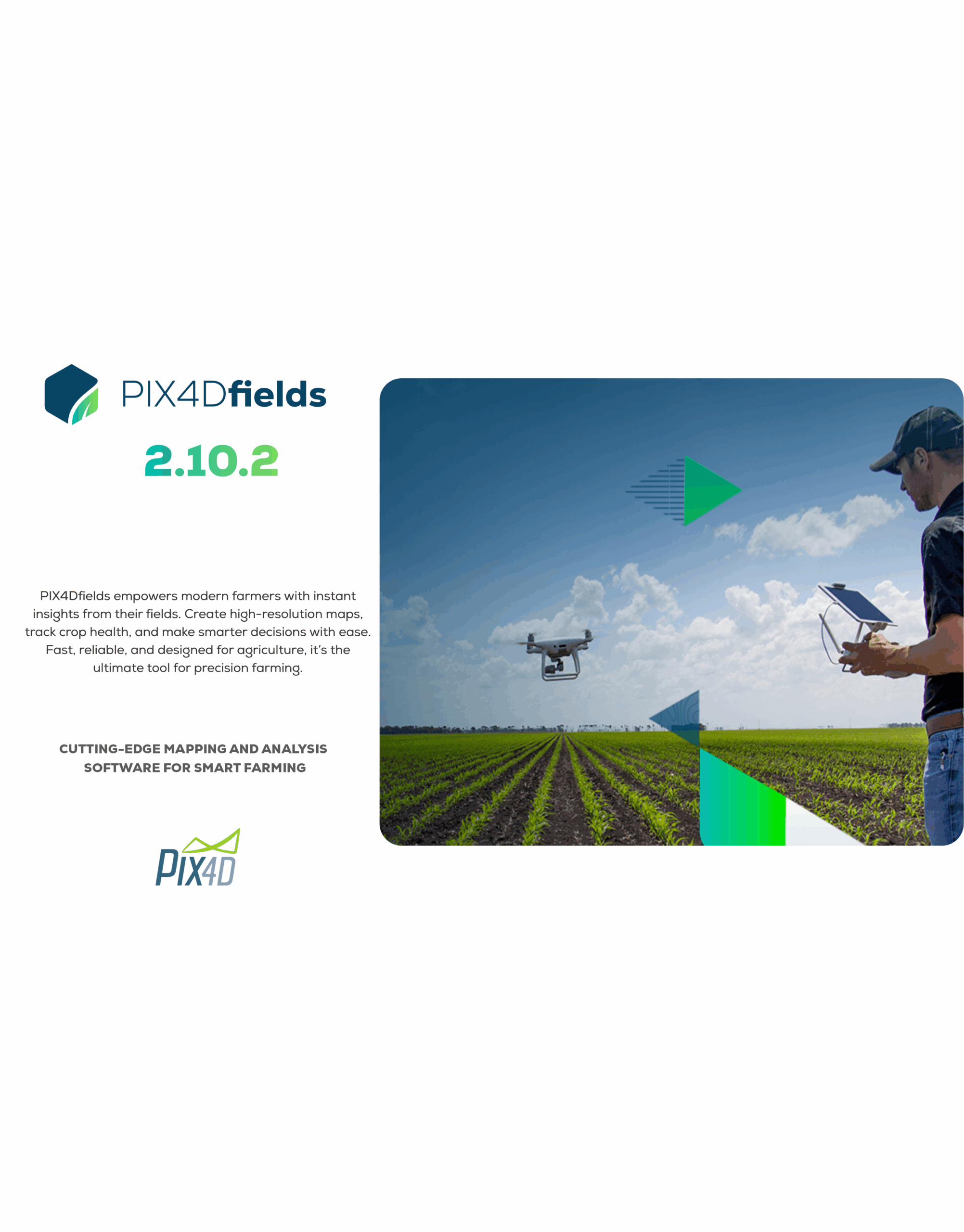
PIX4Dfields is Pix4D’s agriculture-focused mapping application designed to turn drone and satellite imagery into agronomic insights—quickly, even offline. It’s built for working agronomists, farm managers, and service providers who need fast processing, easy analysis, and ready-to-use prescription exports right from the field.
Key capabilities that matter on the farm
-
Process in the field, even offline. Create orthomosaics and index maps (e.g., NDVI) without an internet connection to make same-day decisions.
-
Hybrid data sources. Combine drone imagery with satellite data for complete, season-long monitoring within a single workflow.
-
AI tools for agronomy. Use automatic detection to highlight weeds and other areas of interest; version 2.10 adds AI selection for field boundaries and obstacles to speed up exclusion and treatment planning.
-
Prescription maps that plug into machines. Export variable-rate and spot-spraying prescriptions directly for spray drones, tractors, and field sprayers. These exports are frequently updated—v2.10 added new spray-drone formats.
-
Speed improvements. Recent versions significantly cut processing times; Pix4D reports that a 27 GB DJI Mavic 3 Multispectral dataset processed in 17.7 minutes on an Apple M1 using v2.9, compared to 30.5 minutes on v2.8.
-
“Unlimited hectare” mapping. Plan for large operations without running into software-imposed area caps.
-
Typical workflow
-
Plan and capture
-
Fly a multispectral or RGB drone over your fields (e.g., a platform like the DJI Mavic 3M). Keep consistent altitude, overlap, and timing across flights for reliable time-series analysis.
-
If you use reflectance targets or radiometric panels, capture them consistently for comparable vegetation indices across dates.
-
-
Process on-device
-
Import the images into PIX4Dfields on your Windows or macOS laptop—processing works offline and is optimized for fast turnaround.
-
Choose Fast for quick scouting or Accurate for more rigorous analysis (newer versions also bring platform-specific speedups).
-
-
Analyze and annotate
-
Generate indices (NDVI, NDRE, etc.) and compare dates to spot changes.
-
Use the Magic Tool (enhanced in v2.9) to segment problem areas quickly, then refine with the AI boundary & obstacle selection (v2.10) so equipment routes and prescriptions respect tree lines, waterways, and no-spray zones.
-
-
Prescribe and act
-
Build variable-rate or spot-spray maps targeted to issues like weeds or nutrient stress.
-
Export to compatible spray drones and ground equipment; new formats continue to roll out with releases.
-
-
-
When to choose PIX4Dfields vs. other Pix4D tools
Use PIX4Dfields when you need fast, in-field agronomic mapping, streamlined analytics (indices, comparisons), and direct prescription exports for spraying and application. For broader photogrammetry beyond agriculture (dense 3D reconstruction, survey workflows), Pix4D has other tools in its suite—choose based on your project scope.
DETAILS
Additional Information
| product-licence | Single License, 3 PC License, Unlimited License |
|---|


Reviews
There are no reviews yet.